mWater

Data collection and monitoring platform for water, sanitation, and public health programmes

mWater is a data collection and monitoring platform designed for organisations working in water, sanitation, and public health. It enables teams to collect field data, map infrastructure and services, and generate dashboards to track programme performance.

The platform combines mobile data collection with mapping and monitoring, making it suitable for programmes that require location-based tracking and field visibility.

mWater

Programme data challenges for water and sanitation programmes

Challenge
check

Data on infrastructure and services is often collected across disconnected tools

check

Limited location-based tracking makes it difficult to monitor assets and coverage

check

Field teams operate in low-connectivity environments

check

Consolidating and analysing data across locations is time-consuming

Solution
check

mWater enables organisations to collect field data, map infrastructure and services, and monitor programme performance through dashboards.

check

By combining survey data with geospatial information, it improves visibility into where services are delivered and how programmes are performing.

Key capabilities of mWater

Mobile data collection

Collect survey and monitoring data through mobile devices, including offline environments

Mapping and geospatial tracking

Map infrastructure and service locations for spatial analysis

Dashboards and monitoring

Track programme performance and coverage through visual dashboards

Survey and form builder

Design structured surveys with logic and validation

mWater in action

Project Maji

Project Maji

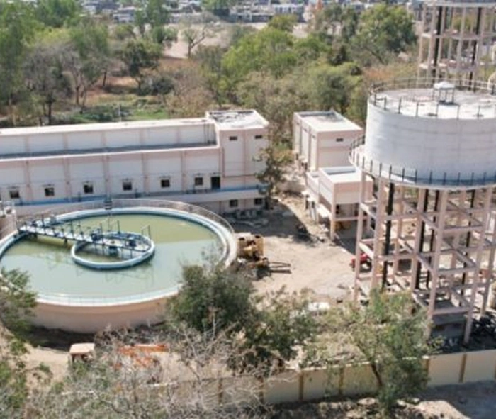
Water infrastructure monitoring and mapping

A national water monitoring initiative that uses mWater to track rural water supply systems. Field teams collect and map data on infrastructure, enabling monitoring of functionality, service levels, and maintenance needs

Read Full Case Study

Pricing for nonprofits

mWater offers both free and paid options depending on usage and scale.

  • Free access for basic data collection and monitoring
  • Paid plans for higher data volumes and advanced features
  • Custom options for large-scale deployments

Best suited for which organisations?

Water and sanitation programmes

Track infrastructure, service delivery, and coverage

Organisations requiring location-based monitoring

Use mapping to analyse programme data across geographies

Field programmes in low-connectivity environments

Collect and sync data reliably from the field

Frequently Asked Questions

What is mWater used for?

mWater is used to collect, map, and monitor data for water, sanitation, and public health programmes.

Does mWater support offline data collection?

Yes, data can be collected offline and synced when connectivity is available.

How is mWater different from KoboToolbox?

While KoboToolbox focuses on general surveys, mWater includes built-in mapping and geospatial monitoring.

Is mWater suitable for general nonprofit use?

It is best suited for programmes requiring location-based tracking.

Want to learn more?

The information provided here is created as a community resource and is not intended as professional advice or a recommendation by ILSS or Koita Foundation. While we strive to ensure the accuracy of the content, we do not take responsibility for any errors or omissions. Users should use their own discretion before making any decisions based on this information. ILSS or Koita Foundation assume no liability for any actions taken based on the information provided.